扫一扫,手机访问本帖 
|
本帖最后由 PanShiBo 于 2018-9-3 18:18 编辑
The Peaks and Trails of High Sierra
2015.03.15 Mount Whitney (#1)
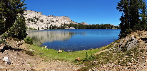
2015.07.28 Virginia Lakes / Summit Lake Trail
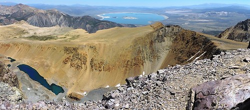
2015.07.29 Mount Dana
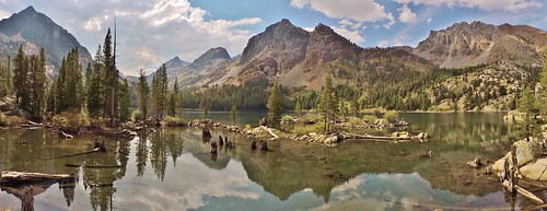
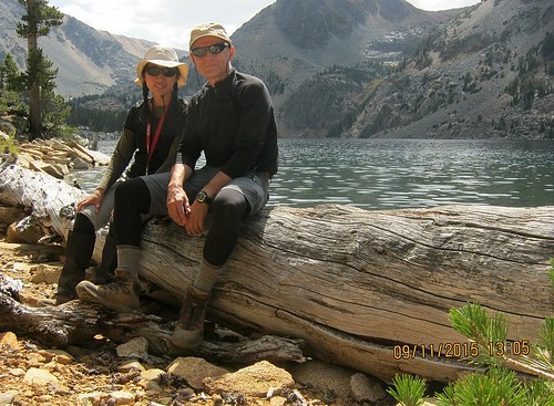
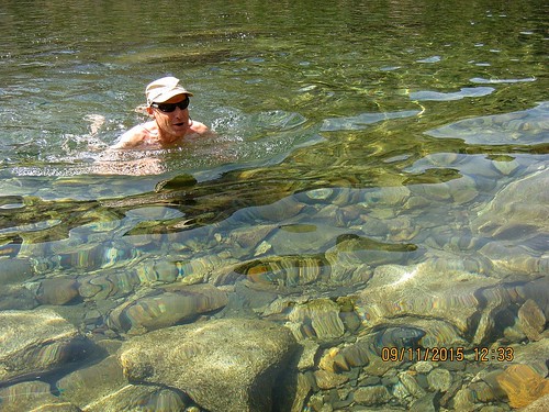
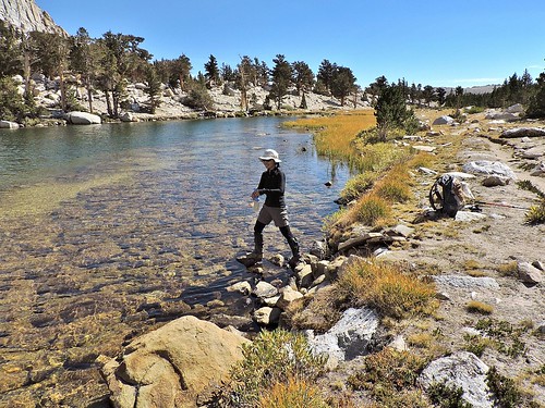
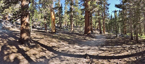
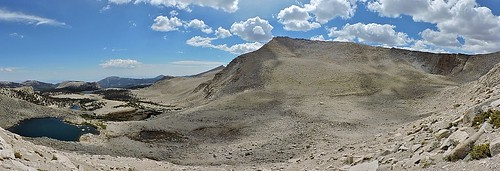
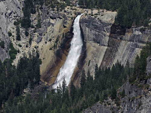
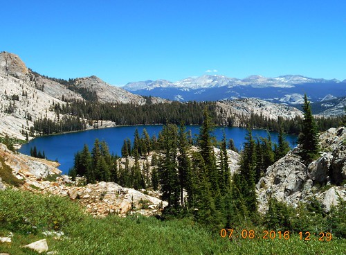
2015.09.11 East Lake, Northern Yosemite
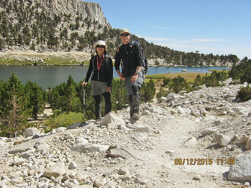
2015.09.12 Cirque Peak
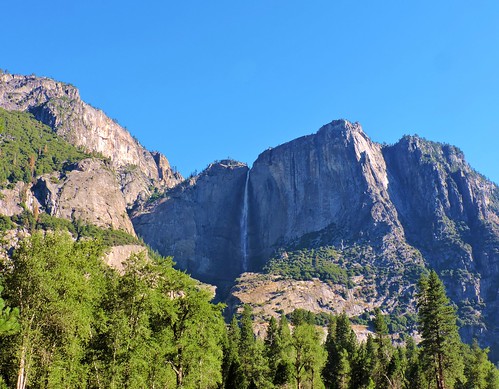
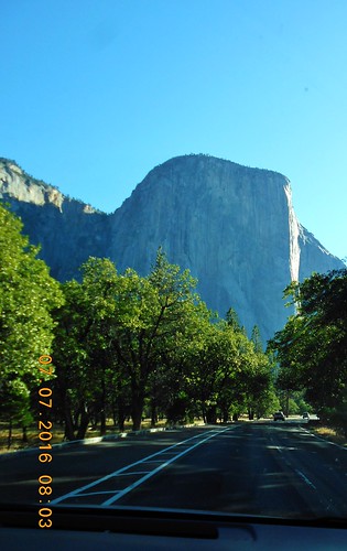
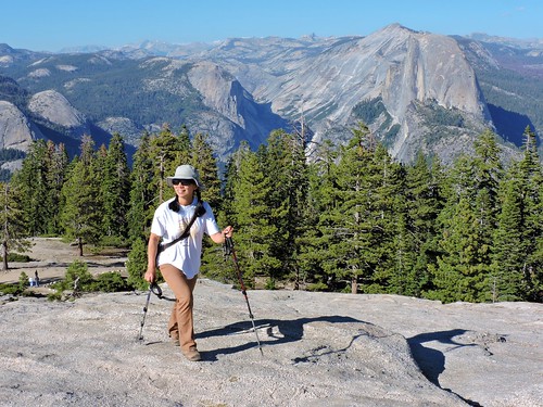
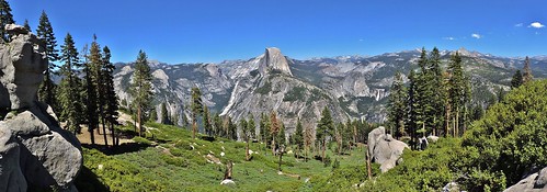
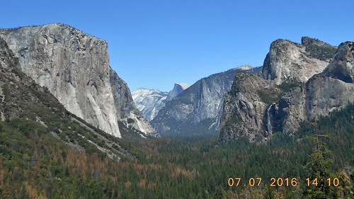
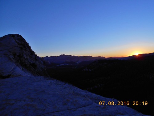
2016.07.07 Sentinel Dome
2016.07.07 Glacier Point
2016.07.08 Mt. Hoffmann
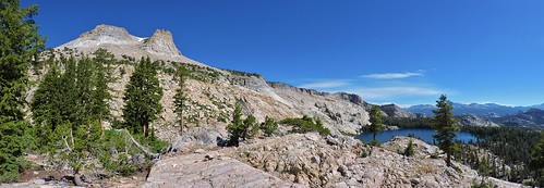
2016.07.07 Lembert Dome (#1)
2016.07.09 Clouds Rest
2016.07.10 Lembert Dome (#2) - South Face
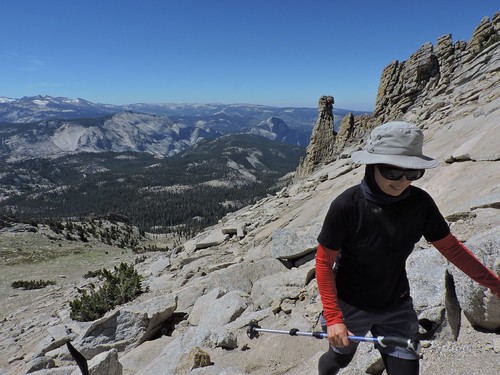
2016.07.10 Tenaya Peak
2016.07.11 Eagle Peak
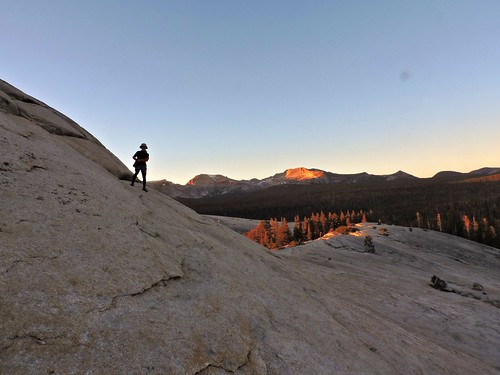
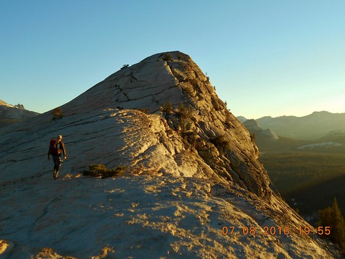
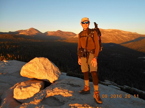
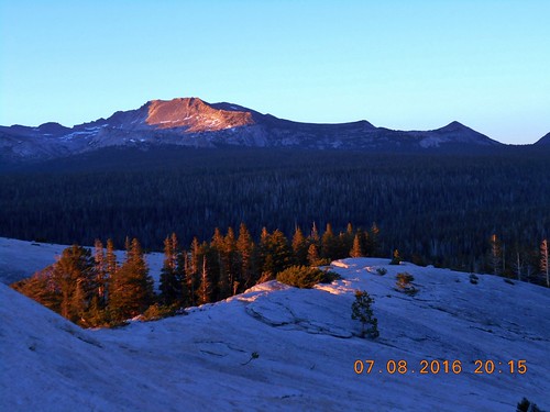
2016.07.12 Polly Dome
2016.07.13 Mammoth Mountain
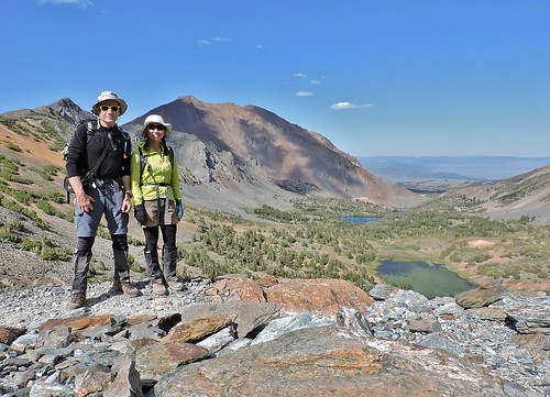
2016.07.13 Tioga Peak
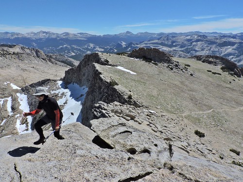
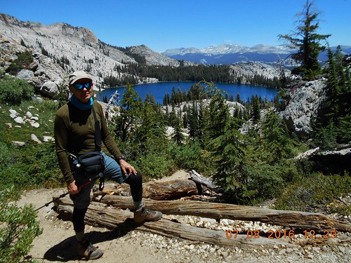
2016.07.14 Mount Conness
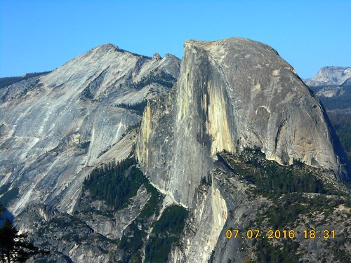
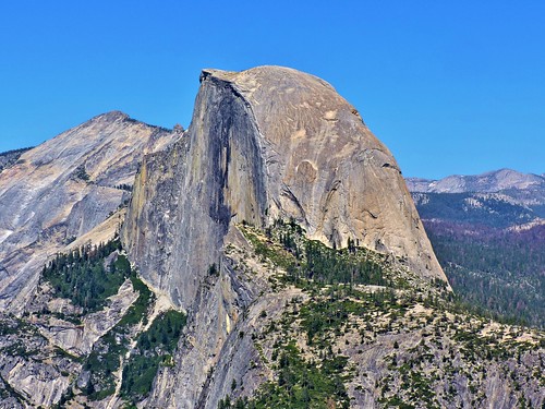
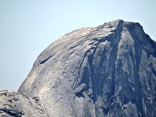
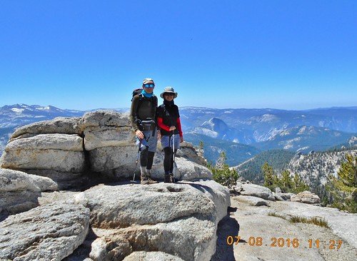
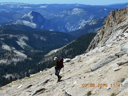
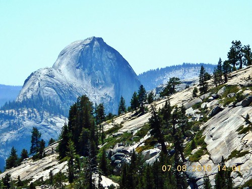
2016.07.15 Half Dome (#1)
2016.07.19 Liberty Cap
2016.07.19 Mount Broderick
2016.07.21 Puppy Dome
2016.07.22 Echo Ridge
2016.07.22 Echo Peak #8
2016.07.22 Echo Peak #7
2016.07.22 Echo Peak #5
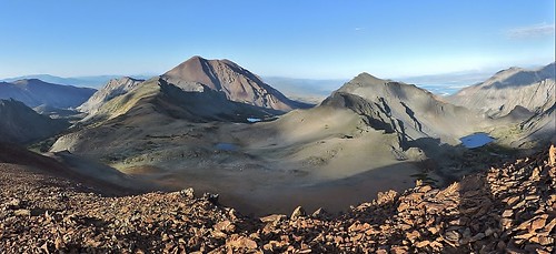
2016.07.23 Mount Gibbs
2016.07.24 Tuolumne Peak
2016.07.27 Alta Peak
2016.07.27 Panther Peak
2016.07.28 Moro Rock
2016.07.29 Mount Silliman
2016.07.30 Big Baldy
2016.07.30 Little Baldy
2016.08.02 Mount Russell
2016.08.02 Mount Russell-East Peak
2016.08.02 Mount Carillon
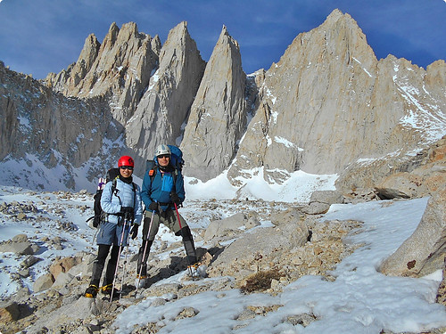
2016.08.04 Mount Whitney (#2)
2016.08.04 Keeler Needle
2016.08.04 Crooks Peak
2016.08.04 Mount Muir
2016.08.06 Mount Langley
2016.08.07 Independence Peak
2016.08.09 University Peak
2016.08.10 Kearsarge Pinnacle #12
2016.08.10 Kearsarge Pinnacle #11
2016.08.10 Kearsarge Pinnacle #10
2016.08.10 Kearsarge Pinnacle #9
2016.08.12 Medlicott Dome
2016.08.13 Cathedral Peak
2016.08.13 Gaylor Peak
2016.08.14 Columbia Finger
2016.08.14 Echo Peak #3
2016.08.16 Half Dome (#2)
2018.08.24 Mt. Tallac (2,967m)
2018.08.25 Red Lake Peak (3,067m)
2018.08.25 Stevens Peak (3,066m)
2018.08.26 Round Top (3,164m)
2018.08.26 The Sisters (3,095m)
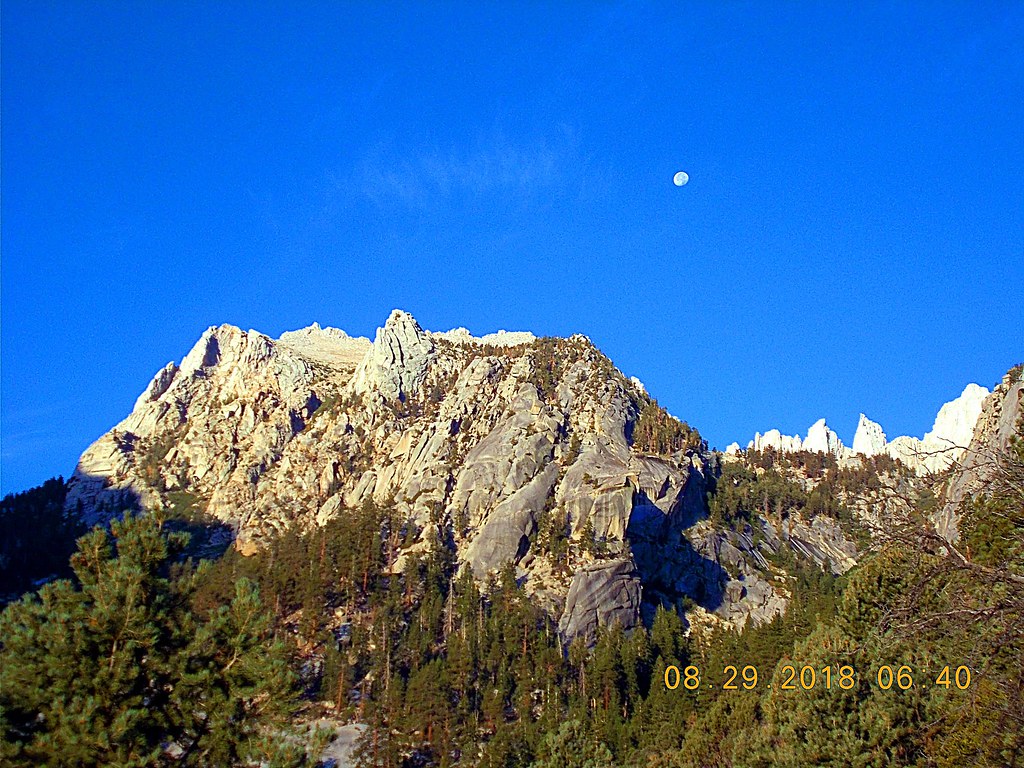
2018-08-29 Mount Whitney #3 (4,419m)
|
|


 IP卡
IP卡 狗仔卡
狗仔卡 发表于 2016-6-30 06:58:41
 提升卡
提升卡 置顶卡
置顶卡 沉默卡
沉默卡 喧嚣卡
喧嚣卡 变色卡
变色卡 显身卡
显身卡 发表于 2018-9-1 08:10:16
 楼主
楼主