|
|

楼主 |
发表于 2016-8-25 07:05:15
|
显示全部楼层
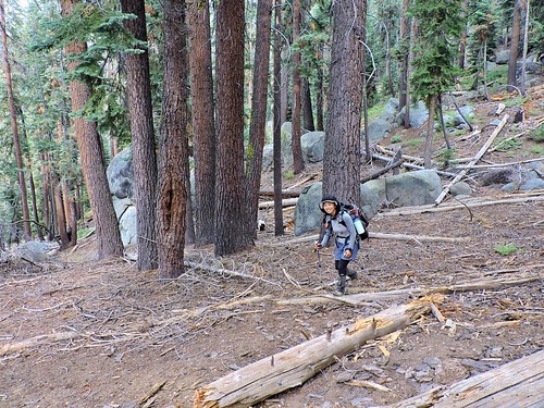
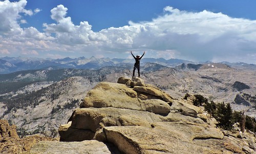
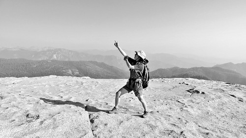
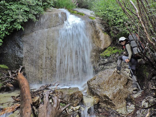
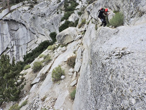
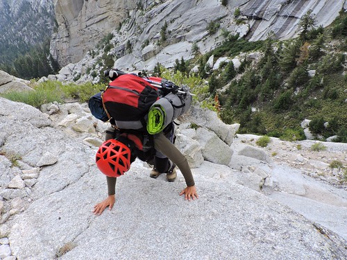
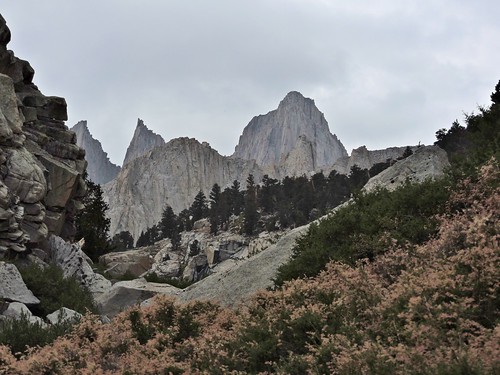
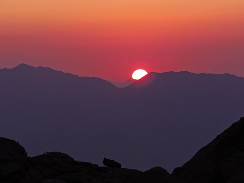
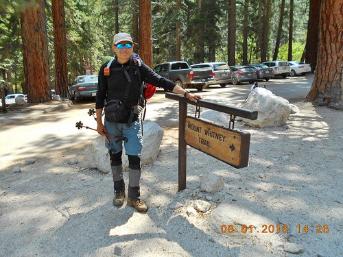
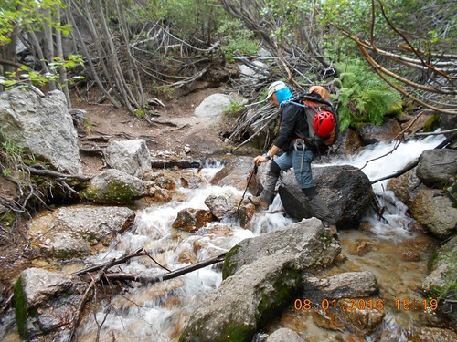
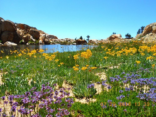
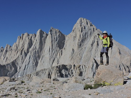
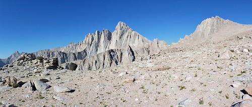
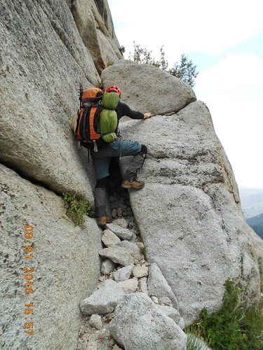
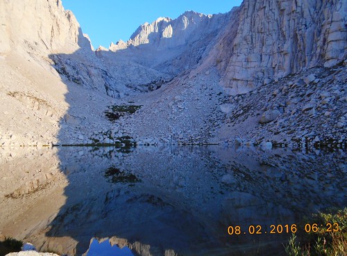
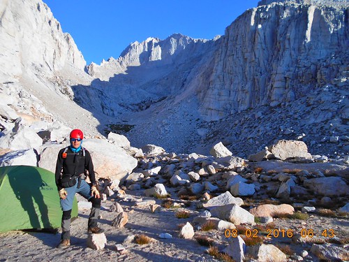
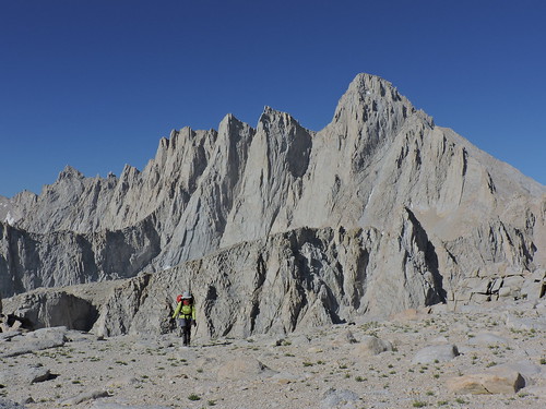
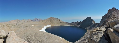
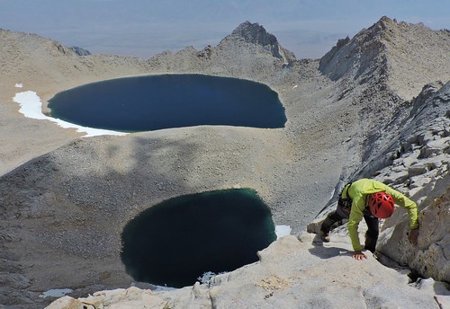
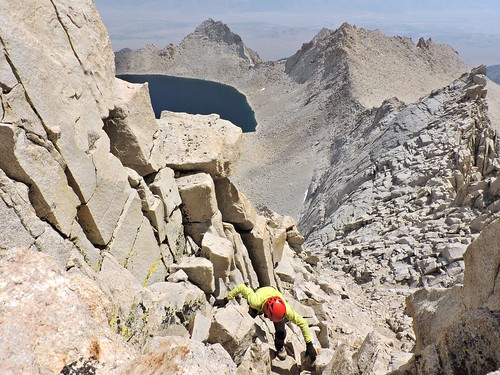
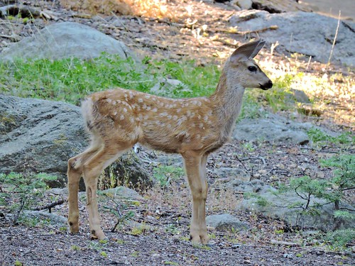
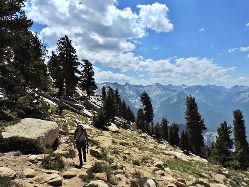
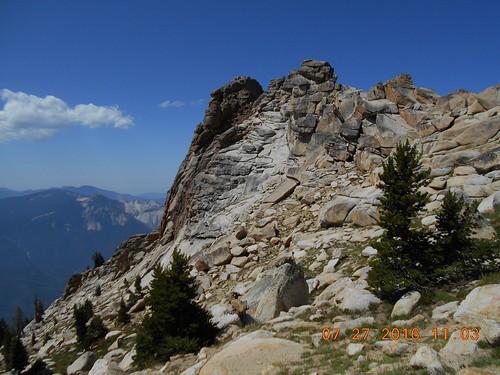
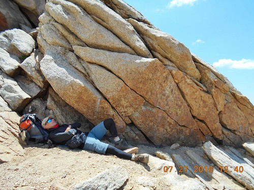
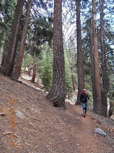
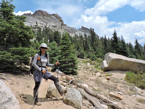
2016 High Sierra
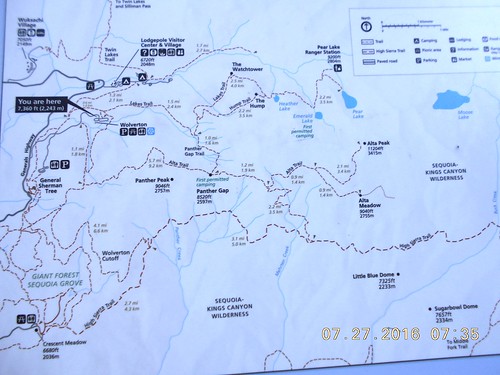
At the parking to Alta Peak in Sequoia National Park, a car stopped by and a young boy came out asking us "do you know where to register?". After figuring out what it meant, the question actually was "How to get to the park' visitor's center?". After having so many similar directions questions before, this one didn't surprise us anymore. We showed him the paper map of the park (available at any park entrance) and his friend tried to take photo of it with his smart phone. This was strange considering all modern smart phones are equipped with GPS and the market is full of free navigation apps. Is that because the technology makes us lazy? The boys were very happy when we gave them the map..
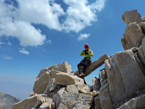
During our 45-days trip through High Sierra, we had many other directions questions like these:
"how to get to the place where the creek gets bigger?" (meant "how to get to Cottonwood lake?"),
"how drive out of the park?",
"where is trailhead to Mt. Dana?",
"how to get to Mono Lake?",
"how to go for a hike?" (actually meant "where is Mist Trail to see Vernal/Nevada waterfalls?" - still 60 miles away) etc.
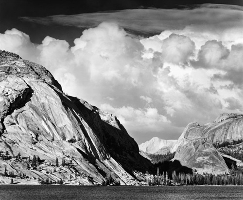
The best one we liked was "how to get to the lake from a postcard" - this person (wife and daughter in the car) apparently was looking for Tenaya Lake, which was photographed by Ansel Adams in 1946.
PHOTO - Ansel Adams: Tenaya Lake, Mount Conness, Yosemite National Park, California, c 1946.
Fifteen years ago I purchased in Costco an Ansel Adams' coffee table calendar (for year 2001) with this and many other High Sierra photos which I still keep on my coffee table! Similar to "directions" questions, apparently, photography also suffers from the same angle - modern photo equipment is much better than it was in 1946, but it failed to produce better photographs - so far I have not seen photos that are even close in quality to Adams' - only poor commercial imitations meant for mass consumption.. 8)
 |
|


 IP卡
IP卡 狗仔卡
狗仔卡
 显身卡
显身卡 发表于 2016-8-24 06:45:23

 发表于 2016-8-24 19:35:56